
When I first tried OsmAnd a few years ago it was overwhelming, there is so much to customize.
I tried it again recently and it really impresses me.
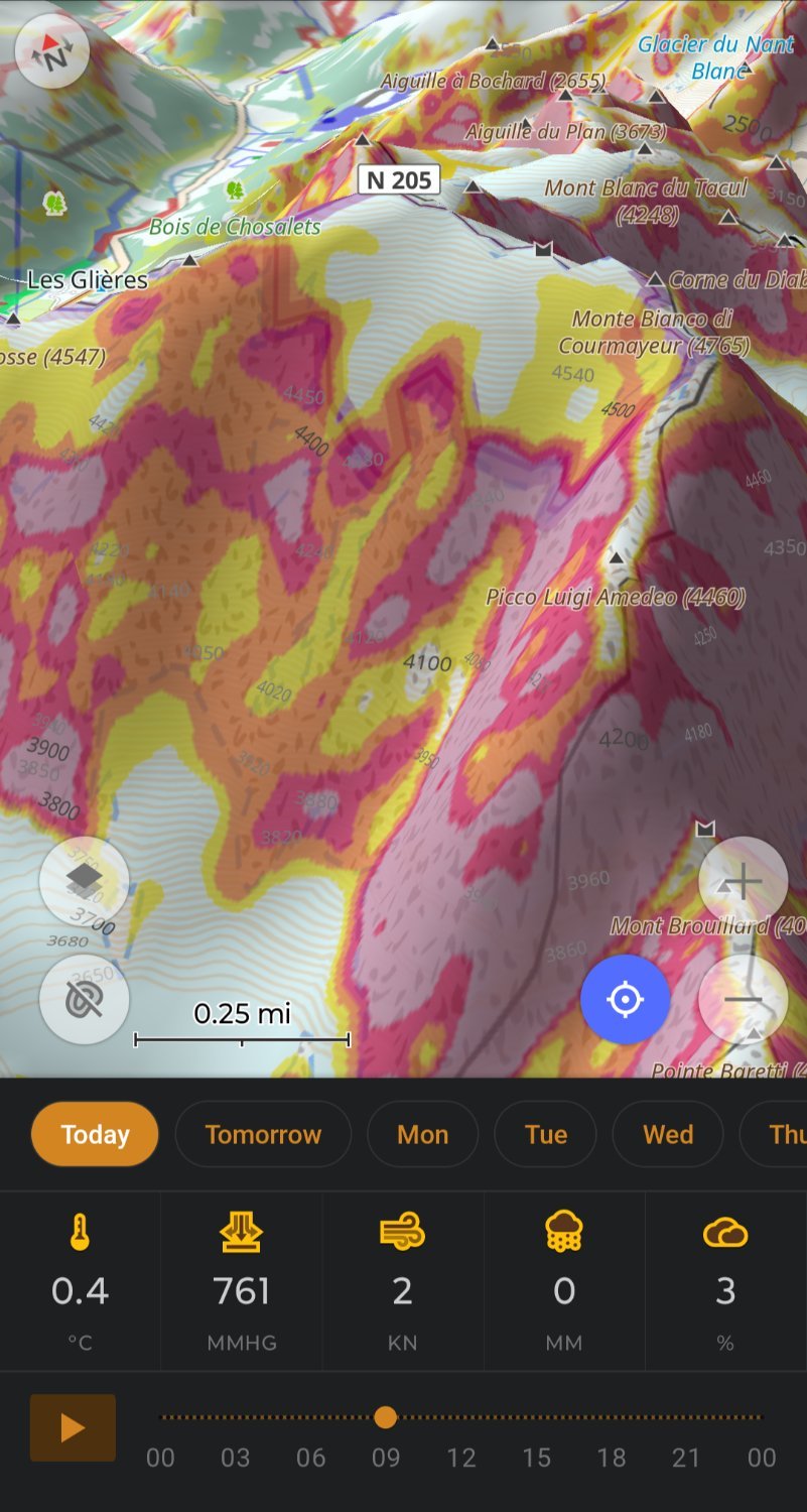
My OsmAnd ski profile shows me slope for avalanche risk and 3D relief so I don’t need Fatmap, plus OsmAnd let’s you download 7days of weather.
OsmAnd doing routing on hiking trails replaces my need for Gaia.
Really impressive work by the OsmAnd team.
I used it for the first time last week on a hike. It worked, but not intuitively at all. I had downloaded a GPX file which I imported in Osmand, and before I got the navigation working I had inadvertly added two waypoints.